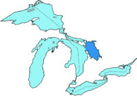
Georgian Bay is the northeast arm of Lake Huron. It is shielded from Lake Huron by the limestone spine of the Niagara Escarpment, which extends in a great arc northwest up the Bruce Peninsula.

Georgian Bay is fed from Lake Superior via the North Channel, between Manitoulin Island and the north shore, and independently by the Mississagi, Spanish, French, Magnetawan, Muskoka, Severn and Nottawasaga Rivers. The strait between the Bruce Peninsula and Manitoulin Island is called Main Channel (25 km wide).
Georgian Bay is approximately 320 kilometres long by 80 kilometres wide. It covers over 15,000 square kilometres, making it almost as large as Lake Ontario.
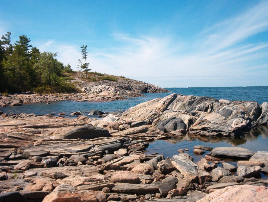
In contrast to the soft, white limestone cliffs of the west shore, eastern Georgian Bay is part of the southern edge of the Canadian Shield. The granite rock formations and windswept Eastern White Pine are characteristic of the islands and much of the shoreline of Georgian Bay. The rugged beauty of the area inspired landscapes by artists of the Group of Seven.
There are tens of thousands of islands in Georgian Bay. Most of these islands are along the east side of the bay and are collectively known as the “Thirty Thousand Islands,” including the larger Parry Island. Manitoulin Island, lying along the northern side of the bay, is the world’s largest island in a freshwater lake.
The Trent-Severn Waterway connects Georgian Bay to Lake Ontario, running from Port Severn in the southeastern corner of Georgian Bay through Lake Simcoe into Lake Ontario near Trenton.
Georgian Bay was first charted in 1815 by Captain William Fitzwilliam Owen, who called it Lake Manitoulin. Captain Henry Bayfield, who made more detailed charts of the bay, renamed it in 1822 after King George IV. His charts are the basis of those in use today.
